
Session
Lightweight 3D Maps for Vehicle Localization Without Heavy Point Clouds
Dense point-cloud maps are heavy to store, share, and maintain. My research localizes a vehicle against compact 3D building models instead, using panoramic images and semantic cues to match what the camera sees to a lightweight city model.
In this session I explain the approach without heavy math. I cover how I build the lightweight 3D model, how semantic segmentation links image to map, and how the vehicle tracks its pose against simple building geometry. I show where this beats dense maps on size and upkeep, and where it still struggles.
You leave understanding a lighter path to localization, and the trade-offs against point-cloud methods you may already use. I presented the underlying research as a poster at ICRA 2026 in Vienna, titled Semantic Equirectangular Visual Tracking in Lightweight 3D Building Reconstructions, and this talk adapts it for an automotive open-source audience. All results are my own.
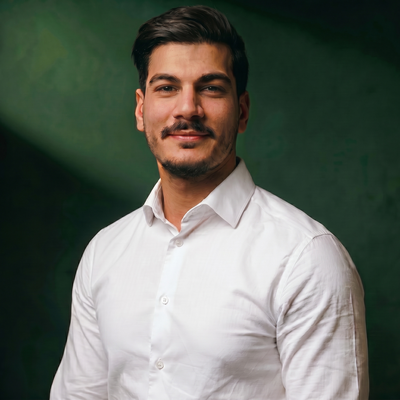
Hussein Loubani
AI Engineer at CIAD | International Speaker on AI Agents and Computer Vision
Montbéliard, France
Links
Please note that Sessionize is not responsible for the accuracy or validity of the data provided by speakers. If you suspect this profile to be fake or spam, please let us know.
Jump to top